Category 1b requires that public access should be 'at levels and of a type which will maintain the wilderness qualities of the area for present and future generations' - so very light-touch indeed, with limited numbers of visitors.

Hesteyri is a very pretty abandoned village on the edge of Hesteyrarfjörður. It was abandoned in the mid 20th century. What was once the doctor's house is now a coffee shop, and there is a camp site close by. The ferry from the northern port of Ísafjörður calls here.

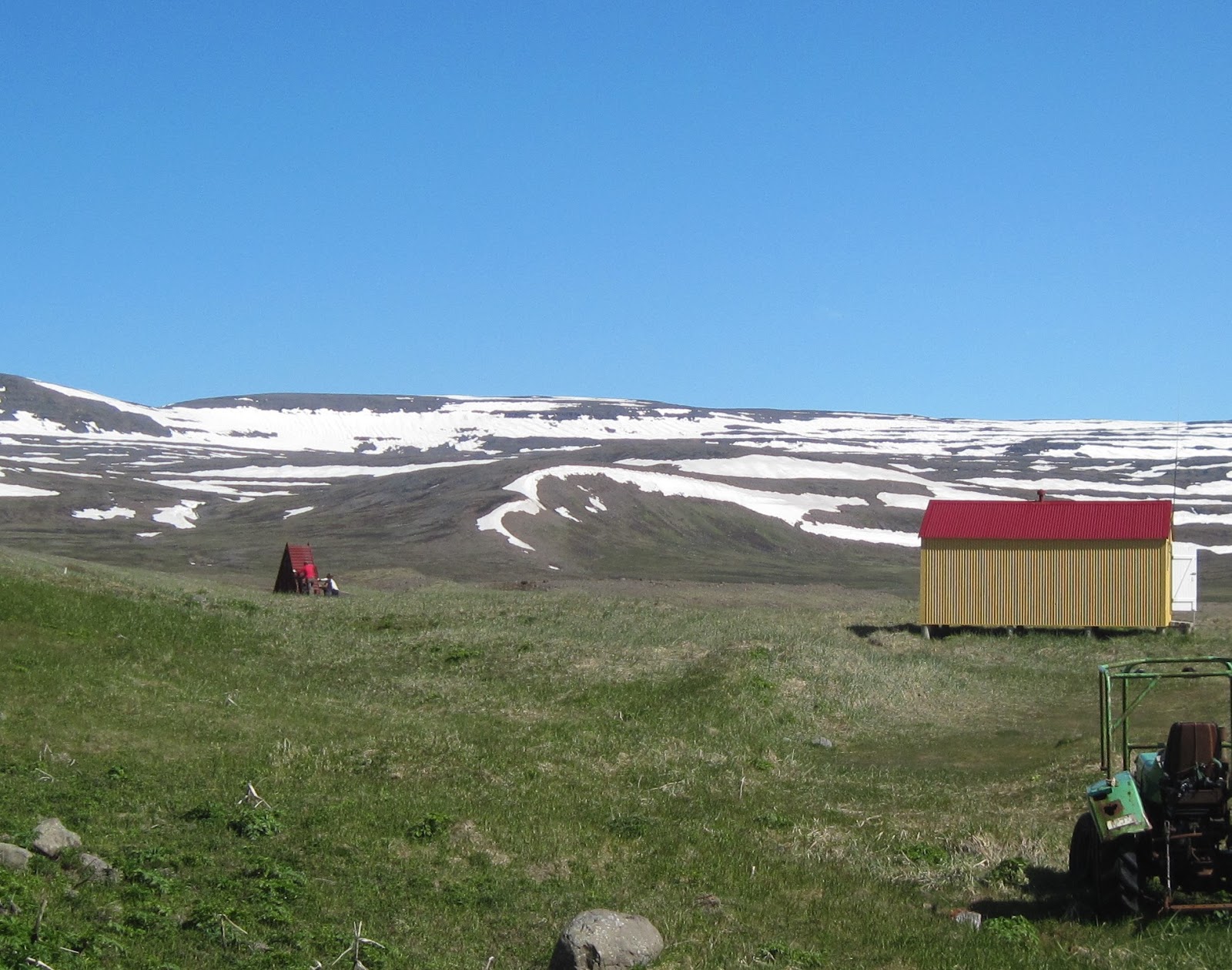
 |
| Hesteyri in high summer. But don't be fooled - it's just a few km from the arctic circle and the weather can be very cruel indeed. |
 |
| The Doctor's House |
Hesteyri is the location of a creepy movie, I Remember You, and the doctor's house is featured in it - well worth a watch.

 |
| Work in progress - paths with footbridges across the streams, being built by ICV volunteers. |
 |
| Making an easy path for day trippers |
 |
| Dandelions, a spring flower in the UK, and cranesbill, a summer flower in the UK, growing together in the short northern summer. |
 |
| Orchids too |

This track goes up to the plateau behind Hesteyri. And there's a poignant story to it.

The villagers started to construct it in the 1940's when the herring catch was diminishing and many of the village's young people were leaving to live in Reykjavík. They hoped to make a road to connect with the rest of Iceland which would be suitable for motor traffic. In this way, perhaps, Hesteyri would be less isolated and people would be more inclined to stay. However the project was defeated by the boggy ground on the plateau, so the overland connection was never achieved. At a meeting in November 1952 the remaining villagers made the decision to migrate south and the village was left empty.
 |
| A fox he would a-mooching go... |


 |
| Summer midnight |
First Trip of the Season
 |
| The harbour, Ísafjörður |
 |
| Boarding the ferry |

As this is the first trip of the season we pick up Hesteyri's landing stage, which has been in safe storage during the winter...
... and tow it home.


Boats cannot approach the Hesteyri shoreline because of the shallows. The landing stage enables them to stay out in deeper water.

Walking to Work
Given the right weather, it's a very pleasant and not too difficult walk across the peninsula to Aðalvík. Here there are once again old settlements with summer houses and a camp site. The ranger, aided by volunteers, has the job of looking after the campground.
So from time to time it's necessary to take the two hour walk over the top, carrying spades, tools and paint tins, to do some maintenance.


 |
| Aðalvík in sight |


 |
| Work starts - painting the long drop. |
 |
| Bah! Midges |
The whaling station at Hesteyri
Until the 1890's Hesteyri had always subsisted on small scale farming and fishery. Then the Norwegians built a whaling station, and provided housing for the workforce. However whaling by foreign operators was controversial, and a ban was imposed in 1915. So the station was re-purposed for processing herring, and continued to do so until the 1940's when diminishing herring stocks forced it to close.
 |
| The remains of the whaling station, just outside the village |


Looking down the fjord. Hesteyri is just visible to the right between the hills:

A basking seal:

Fjord views:


Here's a nice article about hiking in Hornstrandir:
https://travelade.com/iceland/stories/how-to-hike-hornstrandir-on-your-own-without-a-guide/
Wikipedia:
https://en.wikipedia.org/wiki/Whaling_in_Iceland
More on Hesteyri and the Westfjords here:
https://www.westfjords.is/blog/blog/hesteyri


