Friday, 30 January 2015

Volcanoes 3

To view the posts in this blog in chronological order click on 'Love at First Sight' at the top of  the blog archive on the right, then 'Newer post' thereafter.

Note: click on any photo to view the pictures as a slideshow.


The 2010 Eyafjallajökull eruption is known to all, and the disruption it caused to air travel has become part of modern folklore. Everyone has a story to tell and ours is about a leader training course with no trainees – they were dotted about European airports, unable to approach any closer. Meanwhile we still had to prepare for the season. The next four pictures were taken along Route 1 between Reykjavík and our base at Skaftafell during May that year.


Photo: Jenny Please

Photo: Jenny Please


Photo: Jenny Please

Photo: Jenny Please

The disruption to air traffic was caused by that part of the eruption which happened under the glacier. This created a very fine dust which was thought to be especially damaging to aero engines. Ironically, Reykjavik's airport, at Keflavik, was not much affected by the dust, as the winds kept it away.

However Reykjavik did come in for some of it -


In May the following year the nearby and very active Grímsvötn went off. This time there was none of that fine dust so the airways were safe.

The First Few Minutes - at Skaftafell on the southern edge of Vatnajökull


The First Few Minutes - at Skaftafell on the southern edge of Vatnajökull

This eruption just shot out a heavy dust which rained down closer to home. Here it comes ...


The next day at 3 o'clock in the afternoon:


This was taken looking out of our window to the house opposite, a few tens of metres away.


Before 1362, at the southern edge of Vatnajökull, there was a fertile and prosperous region known as 'The Little Province'.

In that year there was a devastating explosive eruption which blasted out huge quantities of tephra. Since 1362 the area has been known as Öræfi, which has come to mean 'Wasteland'. 

Here it is today. The snow covered peak is the still active volcano: Öræfajökull (there was a smaller eruption in the 18th century). The black 'beach' - volcanic ash - covers what were once productive farms. 


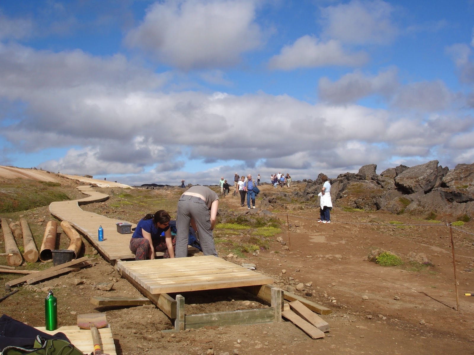
A few years ago ICV volunteers helped archaeologists who were excavating a summer farm at Öræfi. which had been buried in tephra since the 14th century. Apart from some well preserved architectural remains, nothing much was found. It is possible that the people were forewarned, possibly because of earth tremors, and evacuated the place before it happened. 


Thunderboxes of Our Planet: Iceland 2

To view the posts in this blog in chronological order click on 'Love at First Sight' at the top of  the blog archive on the right, then 'Newer post' thereafter.

Longdrop Duplex, Laki Lava Fields

An interesting pair of longdrops at Hrossatungur, Lakagigar. The one on the left, being close to the hut is the more convenient of the two, but as a consequence is noisome. The extra effort of keeping it in while struggling the extra distance to the other is worth it.


Fagrifoss


Modern longdrop at famous Fagrifoss waterfall, South Iceland. Plastic tank replaces natural sink hole. Non-appearance of sucking-out lorry has led to reports of  tank contents making a break for it and attempting to reach Highway 1.


Birth of the Longdrop
Longdrop components being prepared at Head Office, Reykjavik.


Taking delivery of longdrop components, Isafjorður, ready for use in Hornstrandir


Seasons 2

To view the posts in this blog in chronological order click on 'Love at First Sight' at the top of  the blog archive on the right, then 'Newer post' thereafter.

Note: click on any photo to view the pictures as a slideshow.

Spring came very late in 2013. In the north, in May, snow lay thick in many places and Lake Mývatn was still mostly frozen over.


Hólar, North Iceland
Lake Mývatn, North Iceland
Pseudo crater, Lake Mývatn, North Iceland

Also, during the previous autumn there had been storms, which meant that many trees went into the winter with branches already laden with part melted snow, refrozen as ice. The cumulative weight of snow and ice through the winter proved too much for many of them and they collapsed. This photo was taken on Hrísey, an island in Eyafjorður in the municipality of Akureyri, North Iceland.


 So it was that we found ourselves clearing and pruning damaged trees at Dimmuborgir, North Iceland, near Lake Mývatn...


...and clearing snow from the viewing platform at Botnstjőrn,  Ásbyrgi, North Iceland.


2013 was an unusual year. This picture of Ásbyrgi was taken in early May the following year, 2014.


Seasons 1


To view the posts in this blog in chronological order click on 'Love at First Sight' at the top of  the blog archive on the right, then 'Newer post' thereafter.

Note: click on any photo to view the pictures as a slideshow.

A group of  holiday volunteers enjoy a midnight game of golf


Iceland is an island in the north Atlantic so the weather is very changeable and can be wild at times. However the Gulf Stream makes it warmer than other countries at the same latitude.  Spring and Summer are beautiful and the weather often very nice indeed. In the time I've been there I think I have possibly had more good summers than my friends and family in England. 


My favourite kind of weather is that of a typical Icelandic Summer's day, with the temperature in the upper teens, a light cool breeze to keep you fresh and the warmth of the sun on your back. And - you get 24 hours of daylight, which is a  life enhancing joy.

Sunset, Ásbyrgi Canyon

Sunrise, Ásbyrgi Canyon a few minutes later


Ásbyrgi Canyon, 1am Midsummer's Night

This was the culmination of one of the most beautiful drives I have ever undertaken. Having been back to the UK for a spell, I was returning to the north. Leaving Reykjavik in the early evening I came along the north coastal road around midnight. A low mist was creeping up the creeks and gulleys from the sea, only a metre or so thick, with swirls and curlicues snaking out from it. A blazing sun lay on the sea, its horizontal rays backlighting the mist, turning it to a fire so bright it was almost unbearable to look at. 

Very beautiful, but no pics: my little digital camera couldn't cope.


This is a native Icelandic woodland, third week in May. Spring has yet to arrive. The trees are, despite appearances, fully grown. The native Icelandic species is the arctic downy birch, (betula pubescens tortuosa), a variant of the downy birch, (betula pubescens), smaller and with a contorted shape,  It gets further north into the arctic than any other broad-leaf tree.(Thanks, Wikipedia!) I think I'm right in saying there are just two other species currently native to Iceland - the rowan and a sub-species of willow. This doesn't mean that Iceland cannot support other trees or has not done so in the past. It's a complicated story and I'll do a post on it at some point. There is an excellent introduction by the Icelandic Forestry Service here:
 http://www.skogur.is/english/forestry-in-a-treeless-land/

Spring comes very quickly, greening the woods by mid June...


... and flowers cover the woodland floor.


Here, Iceland Conservation Volunteers (ICV) are reconstructing a woodland path which was seriously damaged by the high volume of people passing along it, and the scouring effect of water flowing down the hill.


The channel to the left of the path intercepts the water and directs it safely across the path to the downhill side.


 Rain has its compensations: this is the view from the path above just after a heavy summer shower.


A low mist lies across the Highlands on a night in late summer


Volcanoes 2 - Leirhnukur


To view the posts in this blog in chronological order click on 'Love at First Sight' at the top of  the blog archive on the right, then 'Newer post' thereafter.

Note: click on any photo to view the pictures as a slideshow.


Picture: Gudmundur Ogmundsson
As I write (Autumn 2014) the fissure eruption at Holuhraun/Barðabunga, on the northern edge of Vatnajökull, has been pumping away nicely for some months. There are spectacular videos of it on the net. This picture looks south from Húsavik, a hundred or so km north of the eruption. Lava is entering the jökulsá á fjöllum river and creating clouds of steam, which hang in the sky and reflect the glow of the eruption at night. How long it will last is a matter of speculation; I have heard six months and a year suggested.
(Michael Ryan, U.S. Geological Survey. ][Public domain], via Wikimedia Commons
In the North, not far away, in the 70’s and 80’s, a fissure eruption continued on and off for over a decade: Krafla. This picture was taken in 1984. 
Today it looks like this.

I read somewhere that it took the lava at Laki forty years to cool down. So Krafla’s not quite there yet. 
This is Leirhnukur, within Krafla, and it attracts many visitors. It is also fragile and hazardous. So for a number of years ICV volunteers worked on a boardwalk project designed to carry tourists around the site, giving them good views, while at the same time keeping them off the clay - very slippery when wet ...


... not good around boiling pools.


Volunteers working on the boardwalk in May The guy in thoughtful mode is Chas, the first ICV Coordinator, and designer of the project ... 


... jointly with Paul, seen here working on the viewing platform.


Wooden supports driven into the ground would  quickly be destroyed by the action of chemicals in the clay, so they devised a method of construction which carried the boardwalk on  sleepers laid on concrete slabs.


The spring thaw reveals damage done to the boardwalks by the deep snow that lies across the area during the winter months.


An atmospheric shot taken in May, when the cool air accentuates the steam rising from the warm ground.


Hmm... Dodgy temperature control and poor privacy. Don't think I will ...